Did You Know…..?
ABOUT THE GEOLOGY OF STARK MOUNTAIN
Stark Mountain’s Formation
Illustration by Sarah Clowes
Stark Mountain is the 26th highest peak in Vermont at 3,662 feet. It is situated in the Green Mountains and is part of the Appalachian Mountains. The oldest rocks in the Green Mountains include 1.4 to 1.0 billion-year-old gneiss, a type of metamorphic rock. The rocks on Stark Mountain were deposited between 570 and 450 million years ago as sedimentary rocks in the Iapetus Ocean, along the margin of Laurentia, part of an ancient North American continent. Around 450 million years ago, a chain of volcanic islands and a continental fragment called Ganderia collided with Laurentia, thrusting the Green Mountains up and changing the sedimentary rock into folded metamorphic rock called schist. After many millions of years of erosion, around 13,000 years ago, the Laurentide Ice Sheet began to retreat and left the bedrock of schist covered with a mix of silt, clay, stones, and boulders called glacial till. Thousands of years of weathering and soil building enabled the plants and vegetation to grow on the mountain you see today.
Appalachian Gap
Photo by Caleb Kenna
The Appalachian Gap, commonly known as App Gap, is a paved mountain pass through the Green Mountains just north of Stark Mountain. A gap is a geological feature that is a low point between hills or mountains. The App Gap is composed of a type of metamorphic rock called schist that contains cracks that are filled with an igneous rock called basalt. The basalt formed from the cooling of hot magma that flowed inside the cracked Earth as Pangea broke apart about 200 million years ago.
Route 17 over the App Gap is one of the steepest and most winding state highways in Vermont, yet it is one of only a few mountain passes open year-round. Founded as the McCullough Turnpike during the Great Depression, Vermont bought the right of way in 1936 and partnered with the Civilian Conservation Corps to build the state highway. The highway remains an important east-west thoroughfare.
Today, Vermonters and visitors enjoy skiing, hiking, and biking near the App Gap. The Long Trail, a hiking trail spanning the length of the state, connects the App Gap to the summit of Stark Mountain as well as the top of the Sunnyside Double Chair.
Stark Mountain
Rock Ravines
Illustration by Sarah Clowes, modified from “Rock Cycle” by Siyavula Education
Along the ravine on the Mad River Glen Snowshoe Hare trail is a type of bedrock called schist that is between 570 and 450 million years old. It formed when sediments along the coast of an ancient ocean hardened due to extreme heat and pressure. This happened because sections of the Earth’s crust, or continental plates, collided. Glacial till consisting of unsorted silt, clay, and rock fragments sits on top of the bedrock. The till was left behind by huge ice sheets called glaciers that covered the region until they melted away about 13,000 years ago. Over time, flowing water and ice have reshaped and moved the till and uncovered the bedrock. Hard schist is resistant to erosion, but time has created cliffs, caves, and crevices that provide animals shelter.
Stark Mountain Waterfall
Illustration by Sarah Clowes
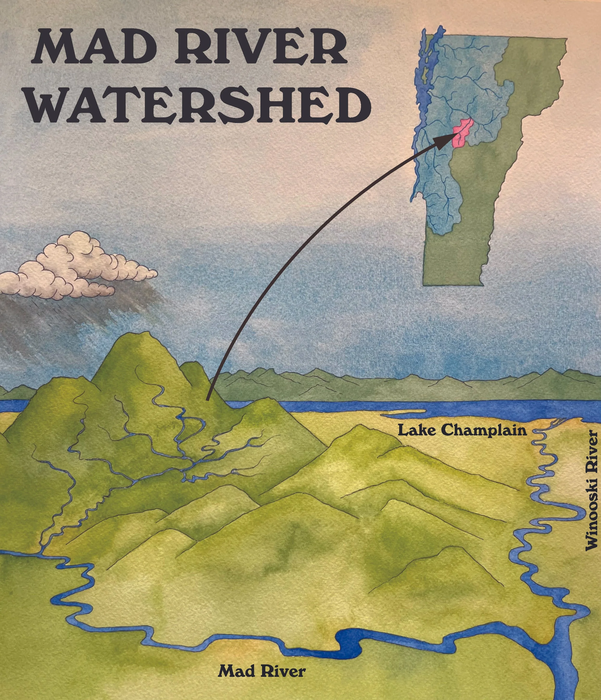
The big waterfall on the Mad River Glen Stark Mountain trail was formed as water rushed downhill and eroded the silt, clay, and boulders, leaving behind bedrock of metamorphic schist.
A watershed is an area of land where all precipitation drains into a common outlet, such as a river, lake, or ocean. The waterfall stream flows into Mill Brook and then into the Mad River, the Winooski River, and then Lake Champlain. Ultimately all the water in the Lake Champlain watershed flows into the Atlantic Ocean via the St. Lawrence River.
In addition to providing the downstream watershed with clean, cold, oxygen-rich water, small headwater creeks are important sources of biodiversity in the upland forest, sustaining plants, animals, and a variety of aquatic organisms.
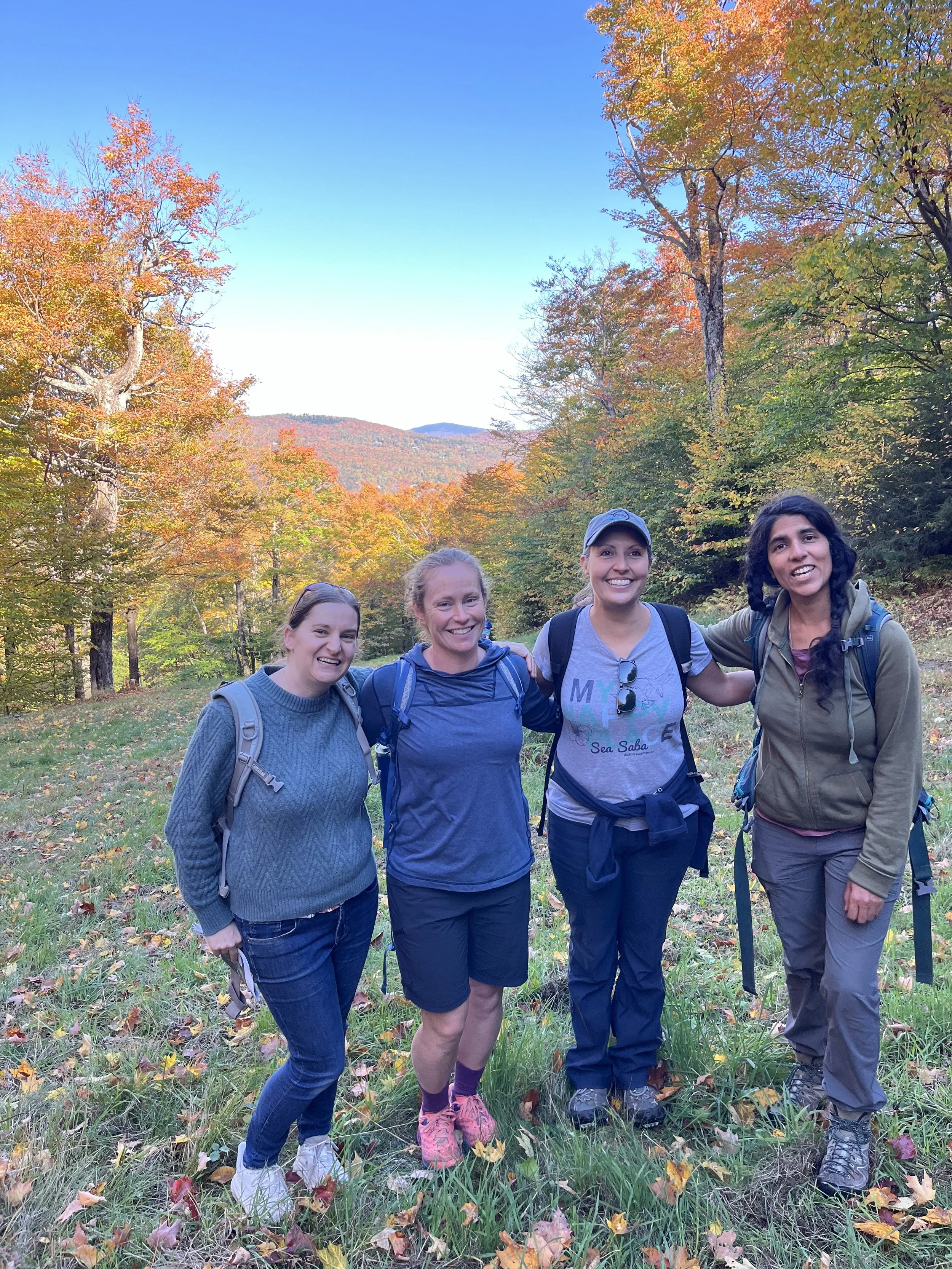
Thank you to the 2024 Mad River Valley Vermont Master Naturalists
(Pictured left to right) Emily Beliveau, Sarah Clowes, Tammy Tuck, Naya Banerjee, and Amy Mooney (not pictured) for their work researching the geology of Stark Mountain and creating the beautiful signs located on the Mad River Glen, Snowshoe Hare trail.


